Discover
Featured routes, region mosaics, rotating pier tips, and quick stats — your splash screen before diving into the full atlas.
Fishinroad is your pocket cruise companion — signature routes across the Caribbean, Mediterranean, Alaska, and beyond, with pier tips, island vibes, curated shore days, and a private voyage log.
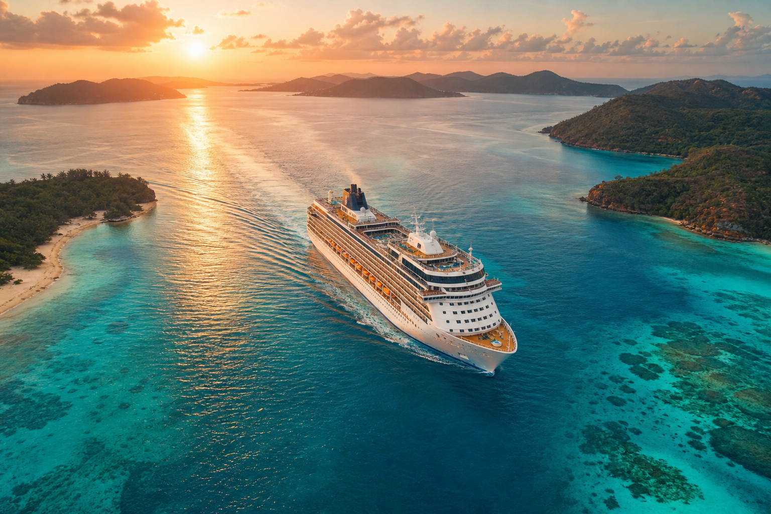
LAT 20.5083° N · LON 86.9458° W · Cozumel reef day
Route trace
Tap a waypoint to read the pier note — the same port-to-port flow you follow inside Fishinroad’s route detail screens.
Miami — Classic embarkation hub with Art Deco beaches and Latin flavor. Port of Miami is bridge-connected; arrive early on embarkation mornings.
Inside the app
From daily discovery to private notes — Fishinroad keeps reference and personal voyage planning in one warm, readable place.
Featured routes, region mosaics, rotating pier tips, and quick stats — your splash screen before diving into the full atlas.
Filter itineraries by region and length, open day-by-day sea schedules, favourite voyages, and share route summaries with travel mates.
Sixteen ports from Cozumel to Reykjavik — pier tips, best-for tags, linked routes, and coordinates for every call on your map.
Island vibe cards with why-stop blurbs — Caribbean reefs, Greek calderas, Pacific shores, and the stories behind each stop.
Twenty curated shore spots — reefs, forts, night markets, glacier trails — with time-needed estimates and walk-from-pier notes.
Save favourites, jot private notes, sketch dream days, and track exploration stats — all stored locally on your iPhone or iPad.
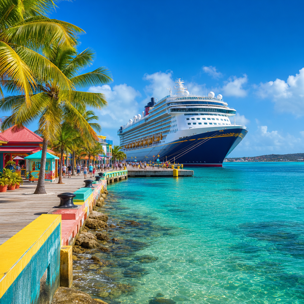
Scenes from the atlas


Privacy policy
Fishinroad does not collect, store, or transmit personal information to us or third parties. Favourites, notes, dream days, and preferences are saved locally on your iPhone or iPad.
Effective date: July 2026
We collect nothing. There are no accounts, sign-up forms, or analytics. We never ask for your name, email, phone number, or location. Routes you favourite, notes you write, and log entries remain on your device.
Because we do not collect data, there is nothing to use, analyse, share, or sell. Every feature — the route atlas, port guides, shore spots, and voyage log — runs entirely on-device.
Your content is stored in the app's private on-device storage. There is no cloud sync or remote backup operated by us. Reference content (routes, ports, islands, shore spots) is bundled in the app.
Fishinroad includes no third-party advertising, analytics SDKs, social logins, or tracking tools.
The app collects no personal data from anyone, including children under 13, and aligns with COPPA and similar standards.
Edit or delete notes, reset favourites, and clear log entries from within the app. Uninstalling Fishinroad permanently removes all associated data from your device.
We may update this policy and will revise the effective date above. Our core commitment — no collection, no transmission, fully local — will not change.
Privacy questions? Email ownyuriidemian@gmail.com or call +1 (236) 242-3783.
Support
Questions about routes, ports, shore spots, or anything else in Fishinroad? Reach out — a real person reads every message.
We usually reply within 24–48 hours.